Illustrated Maps, Charts & Installations
Pensthorpe Natural Park
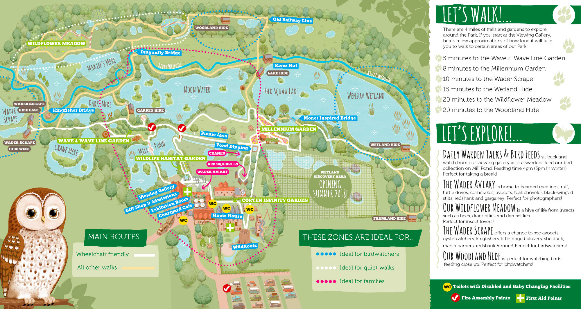
Illustration and design of a park map for the award-winning Natural Park. I visited the location several times and used aerial photography to create an isometric map that balanced usability for a broad demographic with geographic reality.
The map needed to work as a hand held tri-fold leaflet as well as on information boards and presentations.